Showing posts with label California. Show all posts

Sunday, June 8, 2008

A Day Tour: The PCH, Malibu, LA, Hollywood, Burbank

Day 299 on the road.
Starbucks, downtown Palmdale, California

How did I end up in Palmdale, just north of Los Angeles? Well, it's the end result of taking a "day tour" of the Pacific Coast Highway (commonly called the PCH around here). When I awoke yesterday in Lompoc, I had not decided where I was driving my old SUV next. After looking at my trusty Rand McNally Road Atlas, I made the decision to drive south along Hwy. 101 and the Scenic Route Hwy. 1. The PCH follows the coastline and you can take the scenic road California Hwy. 1 to access all the beaches and towns along the way.

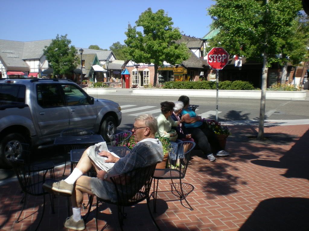
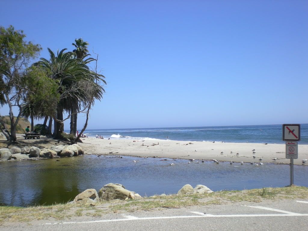
From Lompoc I drove south on U.S. 101/Cal. Hwy. 1 toward Santa Barbara. I toured Santa Barbara, visiting the downtown area and then driving to the harbor and pier on the west coastline of the city. The Santa Barbara Harbor is quite amazing and beautiful. Of course, thousands of people were spending the day at the beach so traffic was horrible. Santa Barbara is a great place, however, and it was worth the effort. The downtown area is a tourist mecca with shopping and local eateries a big attraction. Then the beach and local harbor are a must-see for anyone in town.


(Above and below: downtown Santa Barbara)


(Below: Santa Barbara public beach area and Santa Barbara Harbor)


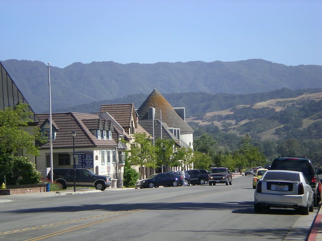
Leaving Santa Barbara, I stayed on the scenic route and followed the coastline to Ventura. I ate lunch at the Ventura Harbor and Marina, an enormous shopping development and marina with hundreds of boats and yachts. Ventura also has plenty of beach access, of course, but I spent my time at the marina looking at the sailboats, fishing rigs, speed boats, and yachts. I ate BBQ (not very good) at a small cafe on the boardwalk overlooking the harbor. The patio on which I ate had a dozen tables or so and had nice view of the marina. The weather was perfect: a cool breeze and 73 degrees with a bright sun and blue sky. I sat for a long time just soaking up the wonderful scene as sea gulls flew overhead.

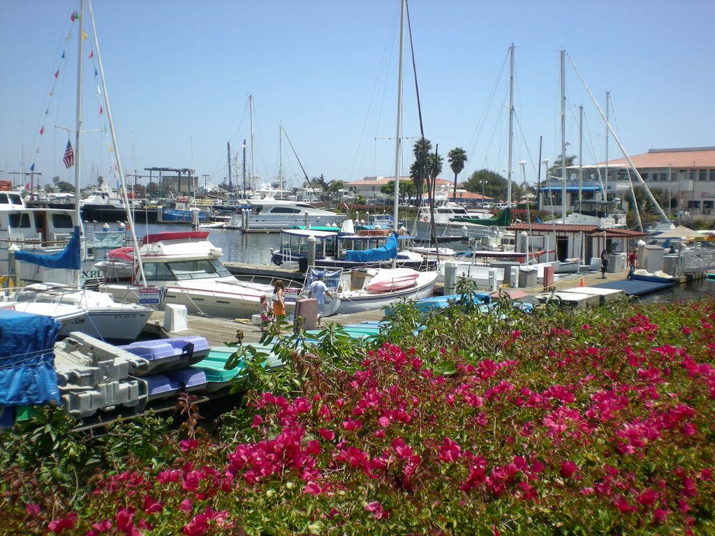
(Below: Ventura Harbor and Marina, and shops.)


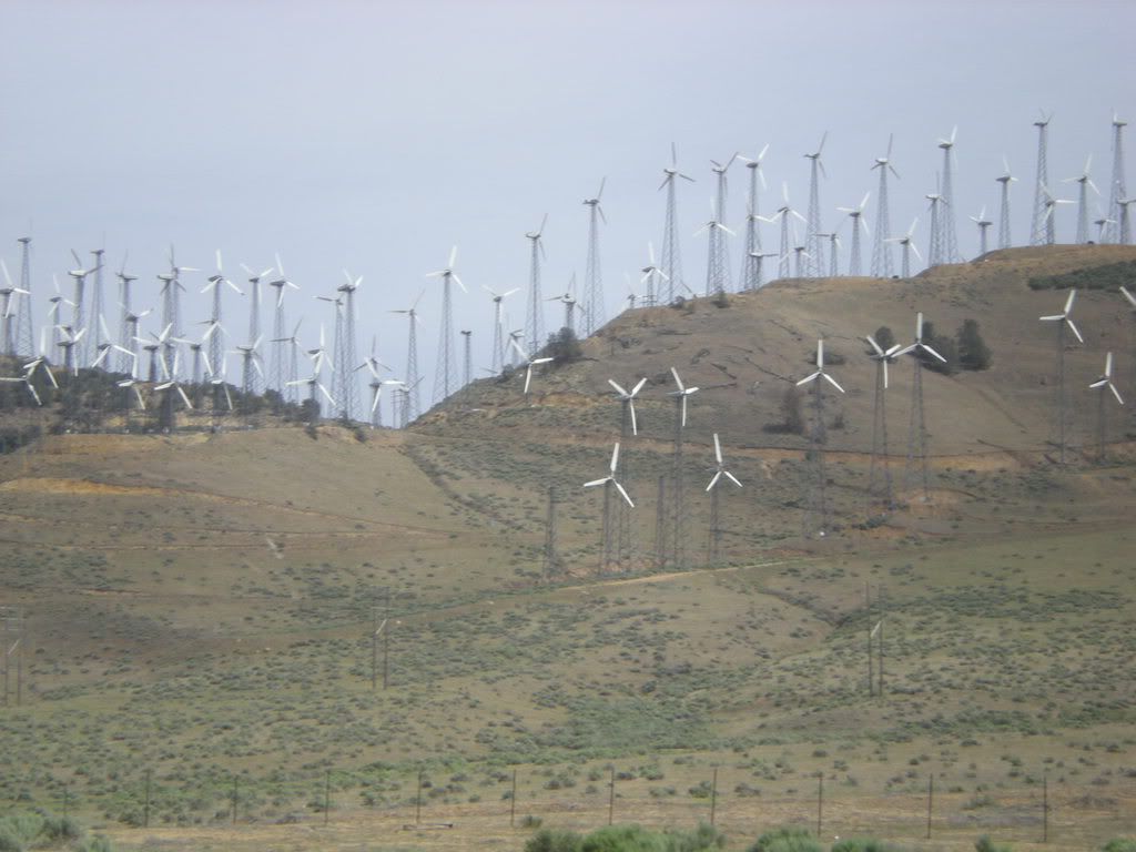
Once I left Ventura, it was just a few minutes to Oxnard, the home of training camp for the Dallas Cowboys later on this summer in July. (Maybe I can come back and meet Pacman Jones.) The scenic road along the coastline takes a detour in Oxnard and I had drive north through town before entering the Santa Monica Mountains National Park and Recreation Area.

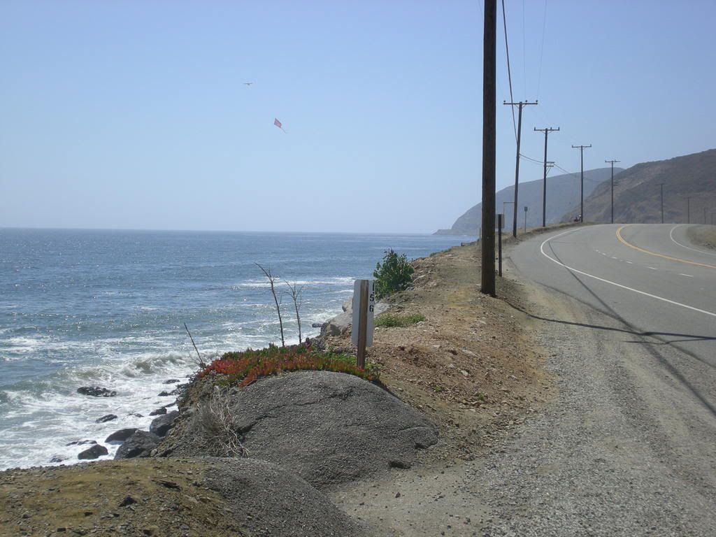
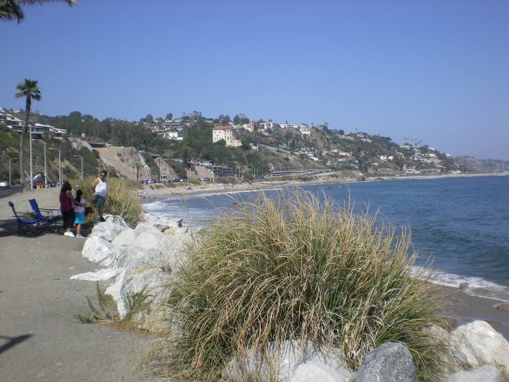
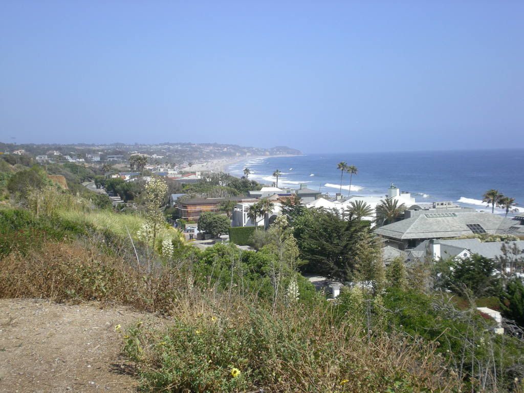
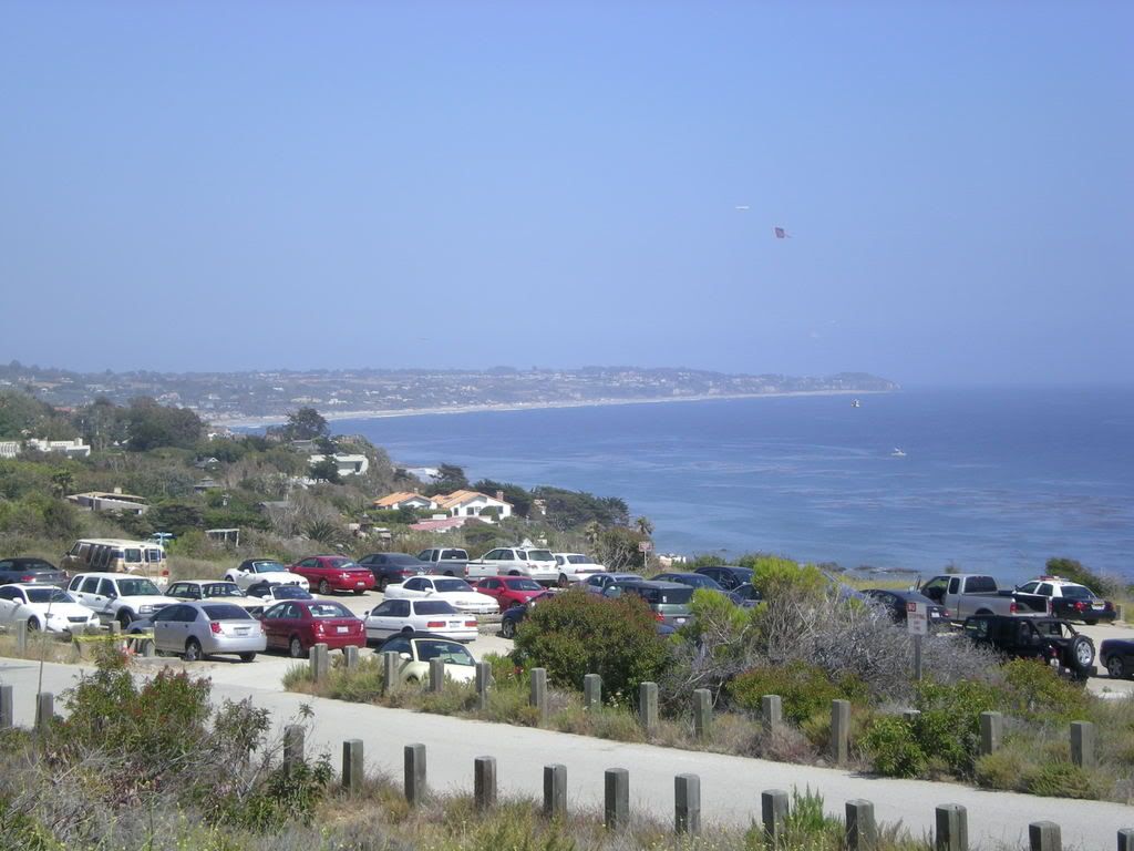
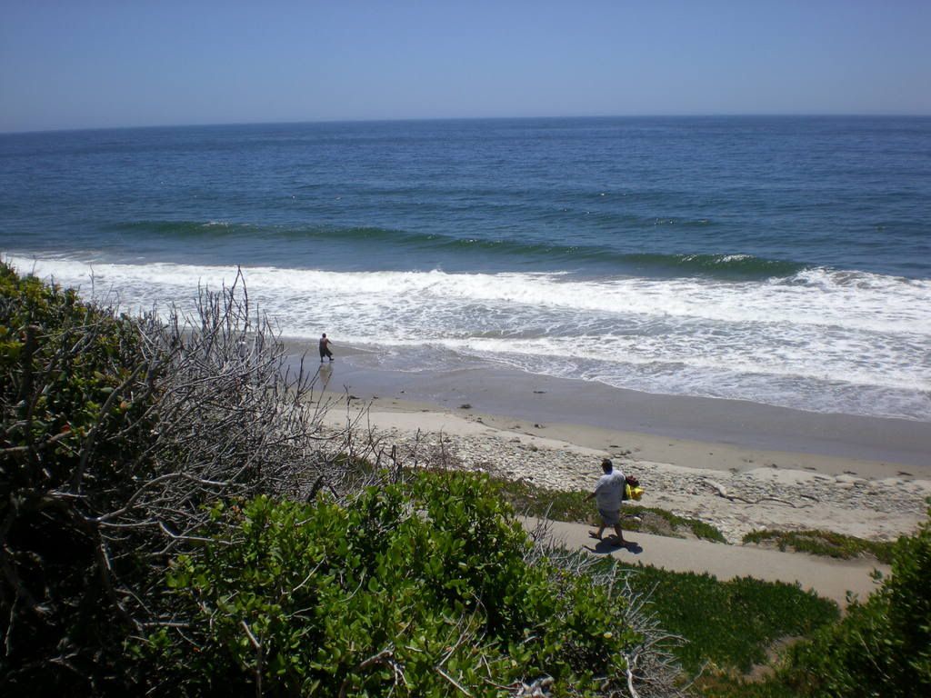
I must say the drive north from Oxnard toward Santa Monica on the PCH is quite an event. To the right was the Pacific Ocean; to the left were the cliffs of the Santa Monica Mountains. All along the drive through this area hundreds of cars were parked at access points along the beaches. Thousands of people were enjoying the beautiful weather, many swimming and surfing the waves breaking toward the coastline.

The scene was wonderful and it was an amazing drive, but I was not prepared for Malibu. Once I arrived in Malibu, the circus began. I have never seen so many people. I saw a sign that said "Malibu, 27 Miles of Scenic Beauty." As I drove that 27 miles along the beaches of Malibu, I was amazed at the number of surfers, swimmers, sunbathers, and people just hanging out and enjoying the wonderful scenes along the PCH. It was a Saturday afternoon, so I should have expected it. However, it was still an amazing drive.

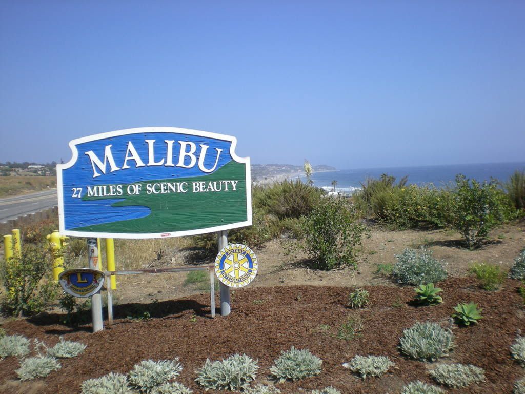
After making it through Malibu, I arrived in Santa Monica just south of Los Angeles. The Santa Monica Harbor and Pier is a carnival of sorts, with Ferris Wheel, roller coaster, and all kinds of tourist attractions. I drove just past the pier and headed toward Los Angeles, with the idea of visiting Hollywood and Burbank before leaving the area.

I drove around Paramount Studios (just a bunch of white buildings with no signs or anything to see but a bunch of fences and security guards) and then visited Hollywood Blvd. and Universal City in Burbank. As I drove up and down Hollywood Blvd. on a late Saturday afternoon, all I could think was, "This is a zoo." I saw street venders, local musicians, local entertainers, and an assortment of costumed creatures advertising various movies that were showing in nearby theaters. It was a very weird scene. One group of Japanese tourists were standing around a guy in blue jeans playing his guitar and dancing to a song he probably wrote himself. Can stardom be far behind for this guy? I saw four pirates, all dressed up and looking for a ship to capture, outside a movie theater.

It was approaching 6 p.m. when I left Universal City and Burbank, so I drove north toward Santa Clarita to find a motel. Palmdale was 20 miles north of Los Angeles and so I decided to drive there for the night.

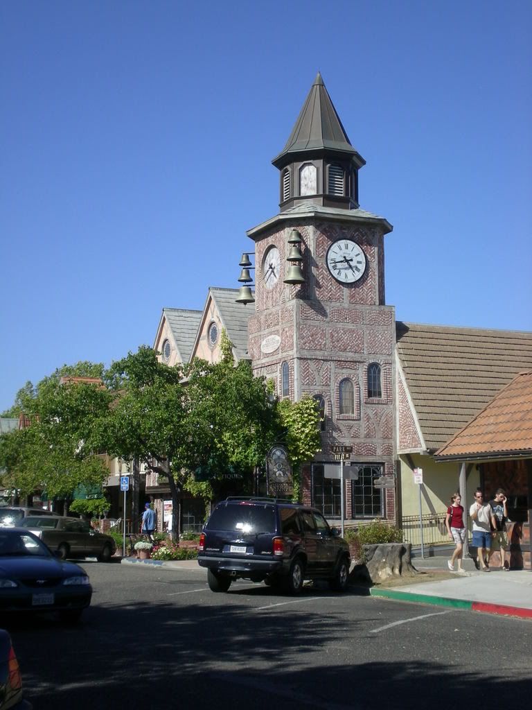
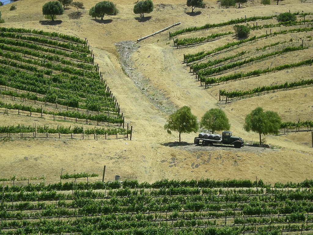
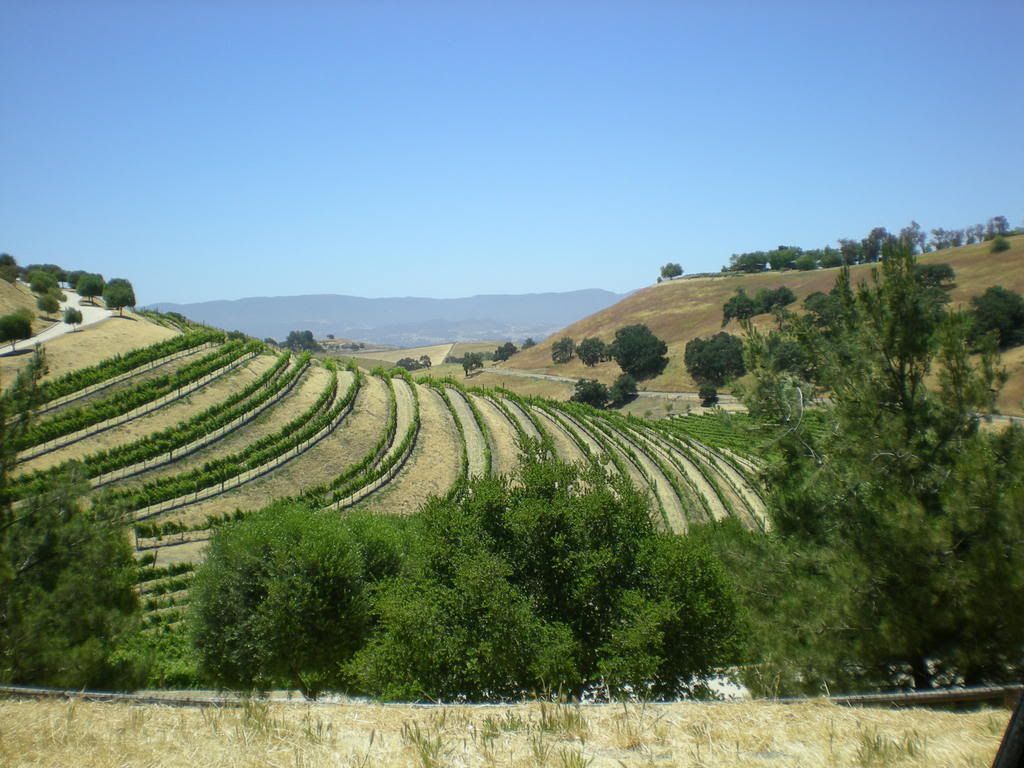
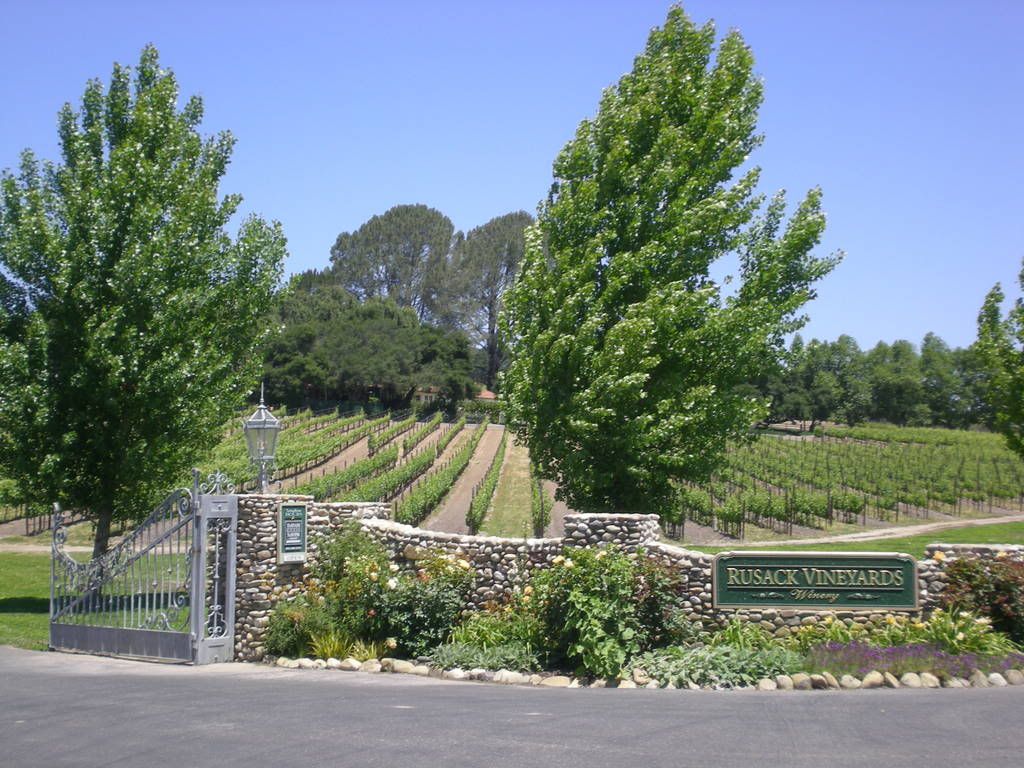
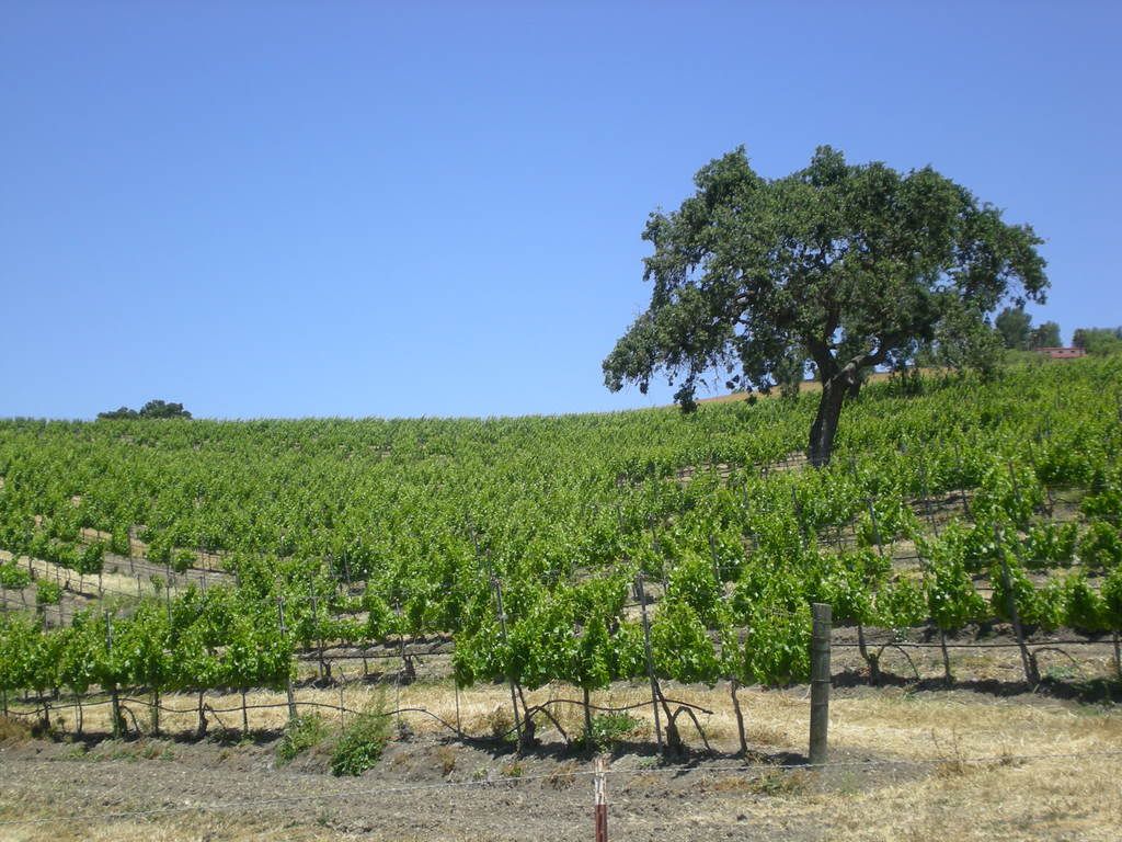
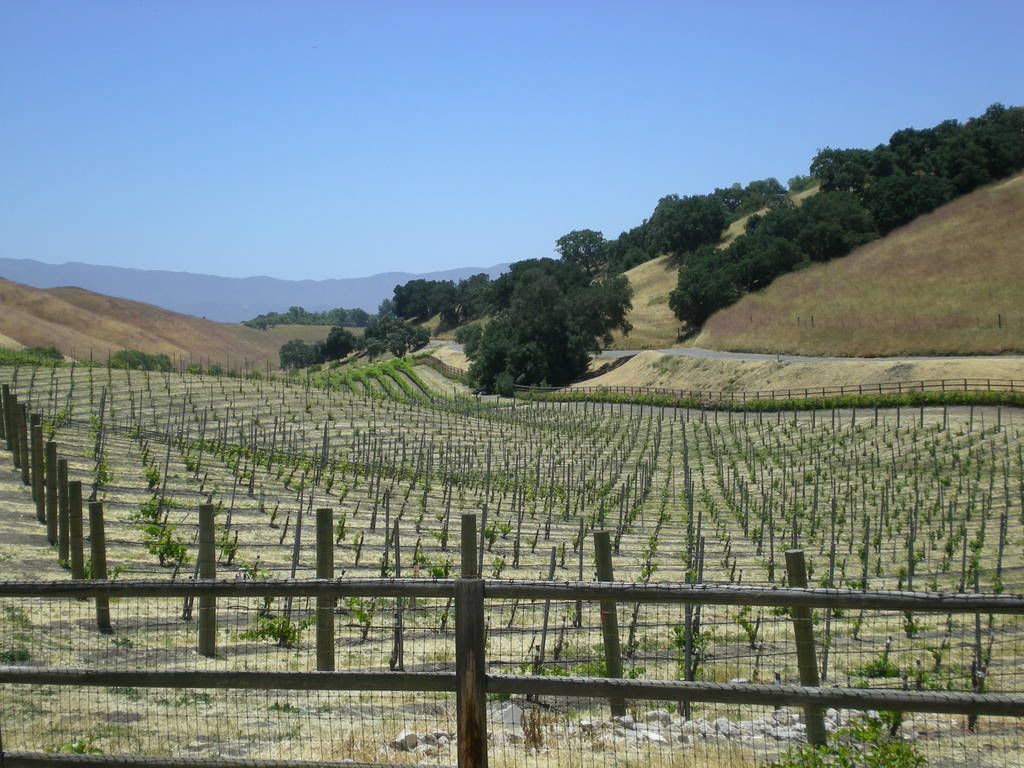
So, here I am, in Palmdale. after yesterday's "day tour" of the PCH and west Los Angeles. And to think I'm only an hour's drive away from Solvang and all those vineyards.

Today I'm heading back to Solvang. I'm going to stay there until Thursday of next week. For some reason, I can't leave this area yet. Who knows. I may never leave.

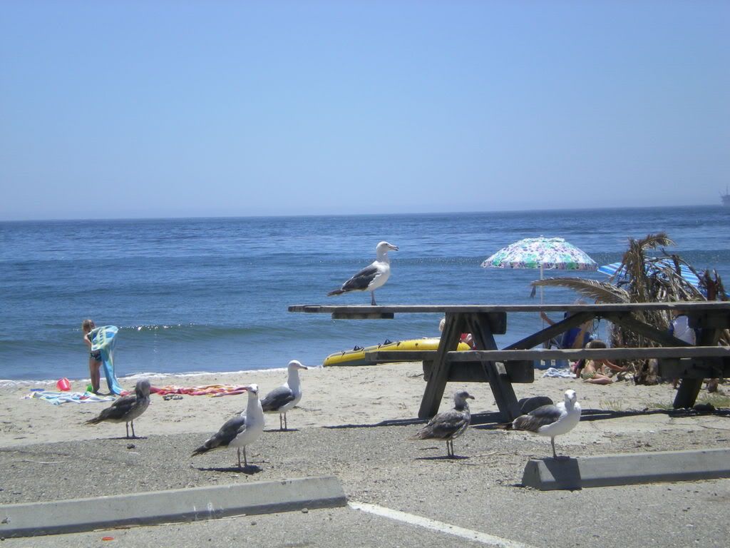
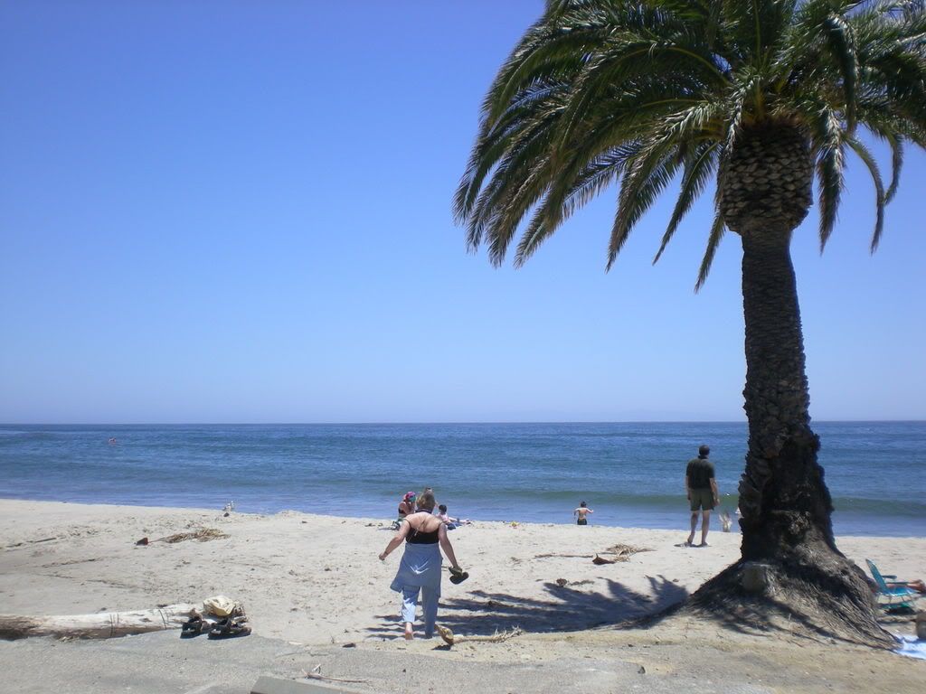
(Below: more photos of the PCH and Malibu.)


Saturday, June 7, 2008

Scenic Hwy. 166, Solvang, and the Ocean

Day 298 on the road.
Starbucks, H Street, Lompoc, California

I'm sitting in a crowded Starbucks in Lompoc, California trying to recover from a couple of days of traveling through central California. I made the drive to Bakersfield on Wednesday after surviving a sandstorm and 60-mile an hour winds in the Mojave Desert east of Barstow.

The winds calmed a bit after I left Barstow. I drove past Edwards Air Force Base on Hwy. 58 and made it to Mojave in mid-afternoon. Once I made it past Mojave I moved into central California. I stopped for a while in a small community called Tehachapi for a chocolate shake and some fries and then arrived in Bakersfield around 5 p.m.


(Photo left: wind turbines near Tehachapi.)


(Photo right: just east of Bakersfield, along Hwy. 58.)


I spent the night in Bakersfield (sounds like the title of a mystery novel). I was not that impressed by Bakersfield and don't see any need to go back there. It's a nice place to drive through when you're on your way somewhere else more interesting.


On Thursday morning I drove south on Hwy. 99 to Mettler, then took the scenic route on Hwy. 166 toward Maricopa. Hwy. 166 between Mettler and Maricopa is one of those scenic routes you must see to believe. The route takes you past beautiful vineyards and farms as you make your way through a valley between the Sierra Madre Mountains to the south and the Caliente Mountain range to the north.


Some photos I took on Hwy. 166, between Maricopa and Santa Maria below:


My destination was Santa Maria, located near the Pacific Coast. Once in Santa Maria I found a Starbucks and had time to reflect on the beautiful drive I had witnessed, including a wonderful scene near the Twichell Reservoir just east of Santa Maria. As an artist or photographer could spend days on Hwy. 166 in this area, with majestic landscapes too numerous to mention as you drive the 50 miles or so west from Maricopa. I found myself stopping many times to take pictures.
(Photo above: near the Twichell Reservoir, just east and north of Santa Maria.)

From Santa Maria I drove south on Hwy. 101 to Solvang. I stayed at the Kronborg Inn in downtown Solvang. After checking in at the motel I walked around the Dutch community that has become a major tourist destination. I'm told that 2 million visitors a year come to Solvang for the wine-tasting, Dutch architecture, and beauty of the surrounding vineyards. Lake Cachuma is 11 miles away and is a major attraction offering RV sites and camping for year-round recreation. The Pacific Ocean is about a 30-minute drive from Solvang, and Santa Barbara is 30 miles south. Therefore, Solvang is at the heart of the central California coastline.

Other communities around Solvang include Los Olivos, Buellton, and Santa Ynez. Over 30 world-class vineyards surround these communities and the views of the beautiful mountains and green rolling hillsides in the area are among the most breathtaking scenes in California.

Yesterday, Friday, I drove south to visit Lake Cachuma. I continued south on Hwy. 101 through the Los Padres National Forest until reaching the northern edge of Santa Barbara. At that point, I turned north on Hwy. 1, the famous freeway that follows the Pacific Ocean coastline. I first glimpsed the Pacific Ocean a few minutes later as I made my way northward toward Goleta and the Santa Ynez Mountains. I visited El Capitan Beach and Refugio Beach, both state-run public beaches accessible from Hwy. 1. These public beaches offer camping and swimming for very little cost. The guards allowed me to drive through without paying. If I parked and stayed a while it would have cost me $8 for a day pass. Camping is $25 a night, assuming you can find a spot available.

I decided to continue my tour of the coast northward, hoping to find a cheap motel in Lompoc. I arrived in Lompoc around 3 p.m. yesterday, found a motel, and checked in for the night. My tour of the day was really just a loop, beginning in Solvang. I went southwest to Santa Barbara, the turned north toward Lompoc. Lompoc is only 30 miles or so from Solvang. One can take a day trip and view an enormous portion of the central California coastline without ever being more than 30 miles from Solvang.

I'm not sure what I'm going to do today. I may drive to Santa Barbara for the night, or I might continue north toward San Luis Obispo.

More photos from my tour of Solvang and Hwy. 1 on the Pacific Ocean coastline below:


Downtown Solvang


Vineyards Near Solvang


Pacific Ocean, North of Santa Barbara


We May Be in for a Perfect Storm of Home "Unaffordability".

I recently read about celebrity real estate agent Mauricio Umansky, who raised concerns about the "perfect storm of total unaffordabili...